Kintyre to Ardnamurchan Clyde Cruising Club Sailing Directions and Anchorages – Incorporating the Yachtsman’s Pilots by Martin Lawrence
Pub Imray – Second Edition
“A relentless recital of potential hazards can create an air of impending doom with what is intended to be a leisure pursuit,” says editor Edward Mason in this edition of the CCC Sailing directions published in January 2018. And of course one’s thoughts turn to infamous spots like the Gulf of Corryvreckan with its maelstrom or whirlpool – an unthinkable area to sail through… unless you know your pilotage. For at slack water without a built up swell the place would be something to add to any other trophy sails you may have made – planned or unplanned.
Planning is essential, it’s a given, and this 215 page book will go a long way to making a cruise safe and enjoyable. It’s stuffed with good information, not just the technical side of pilotage, and with relevant observations gleaned from the club sailing these waters since 1909.
The guide is one of six volumes produced by Imray and the CCC – covering the whole of the western coast of Scotland including the isles of Orkney and Shetland. To those who remember (or still have!) the old blue volumes this impression takes the concept of the Clyde Cruising Guides onto another level with good chartlets for each area and anchorage, seamanlike directions, listed lights, services and supplies. There’s even a gaelic for yachtsmen section – mainly on geographic names, which is useful.
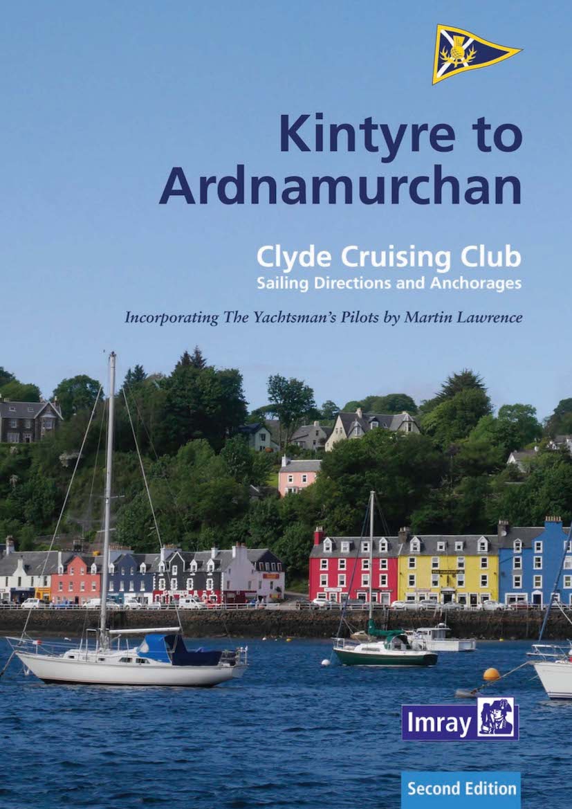
To whet the passage planning cruiser’s appetite for Scotland there are some of the most stunning photos of the area (albeit with an unlikely ratio of blue skies!) and if these don’t make you want to go there then nothing will. Especially useful are the aerial shots from Martin Lawrence – which translate the chartlets into a more graphic reality.
There is an appendix of relevant Admiralty charts; leisure folio 5611, Imray’s excellent C64 and C65 plus the Imray 2800 pack etc but the authors point out that plotter position might not fully correlate with paper charted position as many charts use older surveys – Ordnance Survey 1936 for instance, rather than the World Geodetic Survey (1984) to which the Admiralty only converted – for the west coast of Scotland, in August 2016. A big mention is made to the amateur enthusiasts producing electronic surveys under the Antares Charts name (antarescharts.co.uk) – with some 2461 locations plotted as of last year – many of them between the Mull of Kintyre and Ardnamurchan Point.
£32.50 from Bookharbour
Review by Classic Sailor