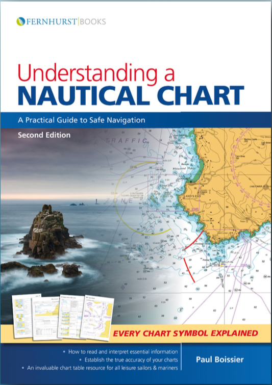
Learning how to read a chart is an essential skill to the sailor and paper charts are still the best when it comes to seeing “the bigger picture”. Paper charts do need to be treated with respect though, and this book cites the oft-retold story of how a ship took a 50 mile detour around a coffee stain as the officer of the watch had mistaken it for a reef…
So it’s a welcome book covering the basics, for instance what to expect from a chart and types of projection, to more comprehensive chapters on Dangers – wrecks, rocks and obstructions and Landmarks, lights and coastal features. There are also detailed chapters on how to interpret tidal diamonds which show direction and rate of current at various times of tide (before and after the standard port’s High Water). It would have been good if Boissier had decided to use a computation of rates table here since the fact that “the rate relies on the range” needs to be the mantra of every navigator or anyone plotting their Estimated Position. But he does mention tidal atlases, which can always be used in conjunction with your chart – especially when interpolating between different tidal diamonds.
Correcting charts is also important and the weekly notices to mariners is described as is the QR code on Admiratly charts (and the same sources for Imray NOAA and Canada) to let you know how up to date they are. With wind farms springing up around our coasts it’s obviously crucial that such obstructions are taken into account.
Usefully the book contains the entire UKHO Chart 5011 – symbols and abbreviations and it’s great to have all of these to hand. There is a chapter on digital charting but this is unashamedly a book about paper charts and it’s a good addition to use as an aide memoire or if you are going to take a course in navigation. DH
Pub Fernhurst 2018, 200pp A4 softback, £19.99


