
PM Theresa May has said that Britain would develop and build its own Global Navigation Satellite System, at a projected cost of £3-5bn. The announcement came on Friday November 30, as a reaction to the European Commission’s position that its own long-vaunted Galileo system, due for launch in 2020, and developed with British engineers and scientists, would not be available in its fullest form to the UK after it left the EU in March 2019.
Britain has spent an estimated £1.2bn (of the £9bn total) for its part in developing Galileo. No announcment has been made on whether any of that money might be returned. With British businesses now shut out of the European set up the prime minister confirmed that Britain would work with the USA – whose own GPS system is in use worldwide by civilian and military navigators alike, to develop a new global navigation system.
The UK’s Space Agency (UKSA) will be working with the Ministry of Defence (MoD) on a British system to provide both open and encrypted (for military) signals, allowing it the same range of commercial and security applications as GPS and Galileo.
The armed forces were due to have access to Galileo’s encrypted system when it becomes fully operational in 2026. The system uses different frequencies from GPS and will have a Public Regulated Service (PRS) element – an encrypted navigation service used by EU government agencies, armed forces and emergency services.
Only EU member states will have access to this level despite much of the technology being developed by British engineers.
“I cannot let our armed services depend on a system we can’t be sure of. That would not be in our national interest. As a global player with world-class engineers and steadfast allies around the world, we are not short of options,” May said. The announcement came on the back of a £92m feasibility study commissioned in August by the Government into a British alternative. However the estimated costs are widely regarded as being less than what it would cost to launch, let alone to run, such a system; GPS costs for the US were $1.18Bn in 2018 according to official US government information.
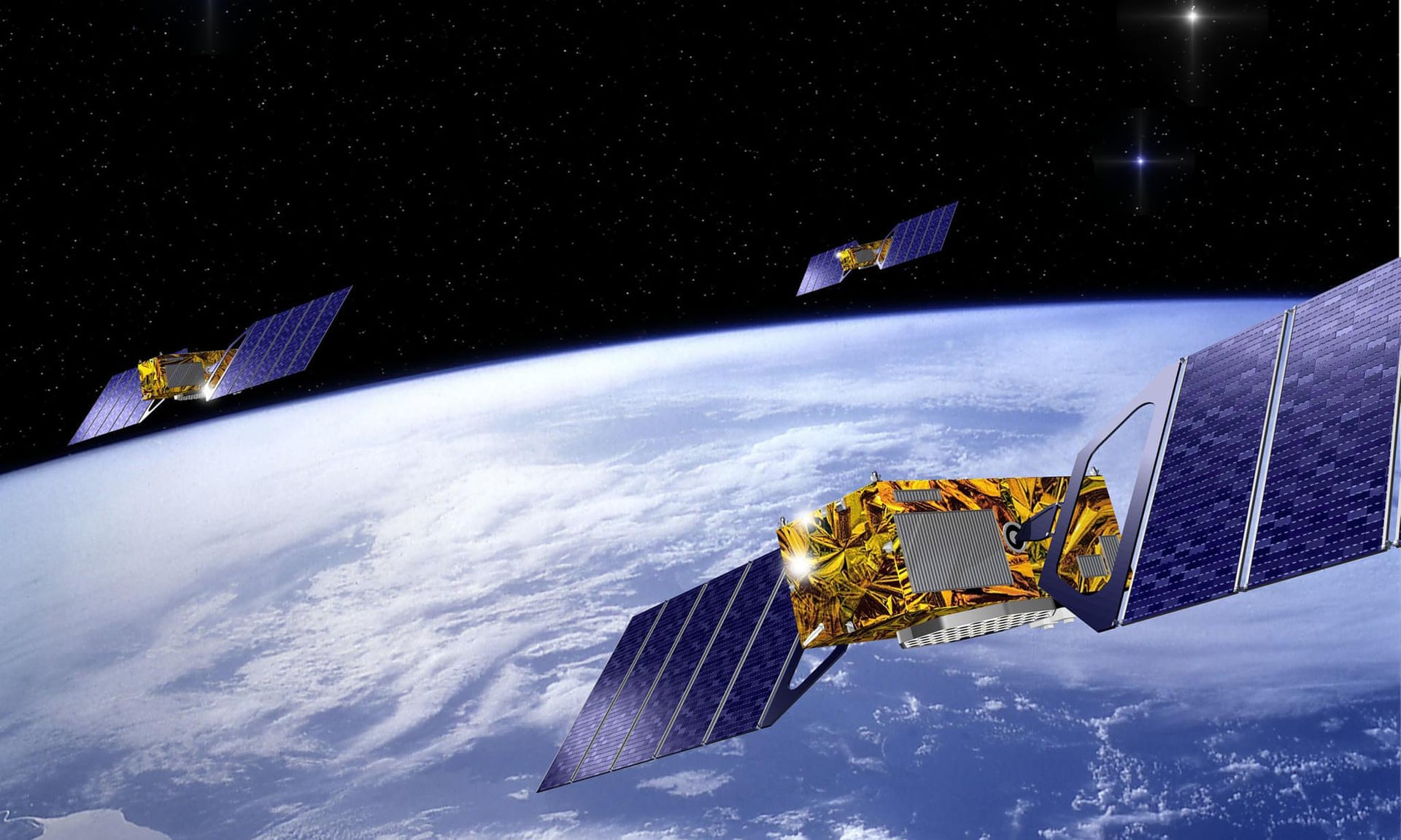
With over 20 years of development Galileo has had some operational capacity since two years ago (December 2016). The system uses 30 satellites (24 in use with six active spares) and will be fully operational in 2020. Europe has developed Galileo as a rival to America’s GPS and there is a strategic element in having it. The EU says it would only ever be switched off in times of Armed conflict – so the message is still there: Don’t throw away your maps, charts and sextant!
Some devices are already able to use Galileo signals. Smartphones are: Apple: iPhone 8 Plus, iPhone 8, iPhone 10/X, BQ: Aquaris V Plus, Aquaris V, Aquaris X5 Plus, Aquaris X, Aquaris X Pro, Google: Pixel 2, Google Pixel 2 XL, Huawei: P10 plus, Mate 9 pro, P10, Mate 10 Pro, Mate 9, LG: V30, Mediatek: Meizu Pro 7 Plus, Meizu Pro 7, Motorola: Moto X4, Nokia: Nokia 8, Oneplus: Oneplus5, Samsung: S8, S8+, Note 8, Sony: Xperia XZ Premium, Vernee: Apollo 2 Apple and Samsung.
All European cars from March 2018 will use it and on the water there are 14 listed systems (see table below). For EPIRBs so far the one listed is the Orolia/McMurdo Smartfind G8.
| B&G | ZG 100 |
| Furuno | Satellite Compass SC-70 |
| Furuno | GP 170 |
| Garmin | GPS 19x NMEA 2000 |
| Promarine | proGPS 2001 |
| Promarine | proGPS 2000 |
| Radio Ocean | RO- GPS5 |
| Simrad | GS25 |
| Standard Horizon | CP 590 |
| Standard Horizon | GSU-5H |
| Standard Horizon | CP 190i |
| Standard Horizon | CP 500 |
| Standard Horizon | CP 300/300I |
| Standard Horizon | CP 390 |
More info on units can be found: HERE
One response