You know what point to aim for, the wind is free so you can go straight there. Except that you need to take into account the speed and direction of the tide to determine your course to steer, and then add a final adjustment to account for magnetic variation By John Clarke of Team Sailing
There are two classic scenarios for navigating: The first is where you cannot go where you want to, because of the wind direction.
Then you must sail close hauled, but you need to monitor your progress as you go, using Estimated Positions.
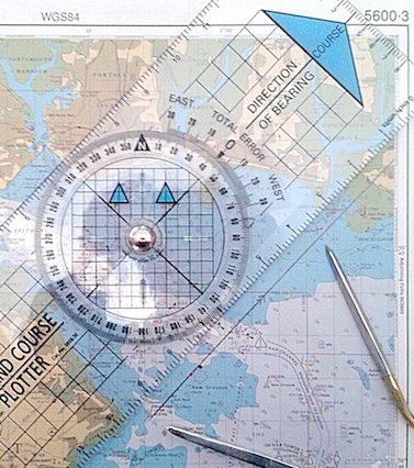
We covered this in the January issue (HERE), and Figure 1 reminds us how to do this.
The second scenario is when you have a free wind, and can steer where you want to go, and know where you want to go, but because of the tide and magnetic variation you need to work out what direction to point the boat in, in order to arrive at your destination, and that is what we shall be covering in this article.
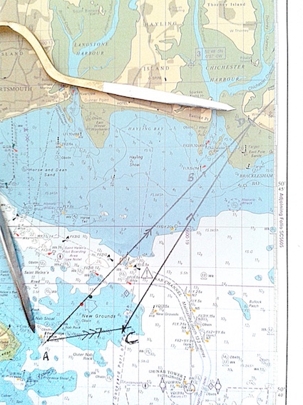
So, let us imagine that (sans GPS) we have travelled from Cherbourg to the Isle of Wight, have managed to locate the Isle of Wight, and have successfully negotiated our way past Ventnor and White Cliffs and have located the East Bembridge Cardinal Buoy. Our destination is Chichester Harbour, and specifically the West Pole, which guards the entrance to Chichester Harbour.
It is a run of approximately 5.8 miles, which will take us about one hour, and the direction we want to go in is 430(T).
But the tide is setting in a direction of 800(T), at a rate of 1.8 knots (we get this information from the tidal stream atlas or the tidal diamonds), so we know that we must aim to the left of the West Pole, but the question is, by how much?
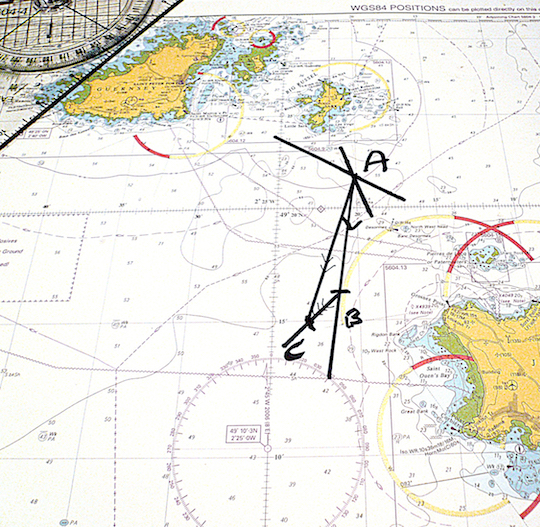
OK, let us first draw the line from the Cardinal (A) to the West Pole (B), and extend it beyond there (see Figure 2).
Then, from the Cardinal (A) we insert the tide, which will take us to C (see Figure 3).
Then, from C we need to work out where the boat will intersect the line to the West Pole.
This will depend totally on the boat speed (the faster we are going the closer to 430 we are able to steer).
If we assume a boat speed of six knots then it will intersect our line A-B at point D (see Figure 4), which may be either shy of B or extend beyond B. The line C-D is the course to steer, and in this case it is 310(T). Of course this is a true bearing, since it is a line drawn on the chart, so it will need converting to a magnetic bearing.
If the variation is 20 west then the magnetic bearing will be 31 + 2 = 330 (M), so we would ask the helmsman to steer between 300 and 350 (M). and this should get us pretty close to the destination, if the tidal information was accurate enough.
By the way, the Speed over Ground (SOG) is represented by the line A-D and in this case is 7.3 knots (see Figure 5). This makes sense since the tide is behind us somewhat, and the SOG will therefore be greater than the boat speed of 6 knots. We should get there in approximately 48 minutes – the distance 5.8M / the SOG 7.3 x 60minutes.